What’s better than using Soviet Military Maps Free by ATLOGIS Geoinformatics GmbH & Co. KG? Well, try it on a big screen, on your PC or Mac, with BlueStacks to see the difference.
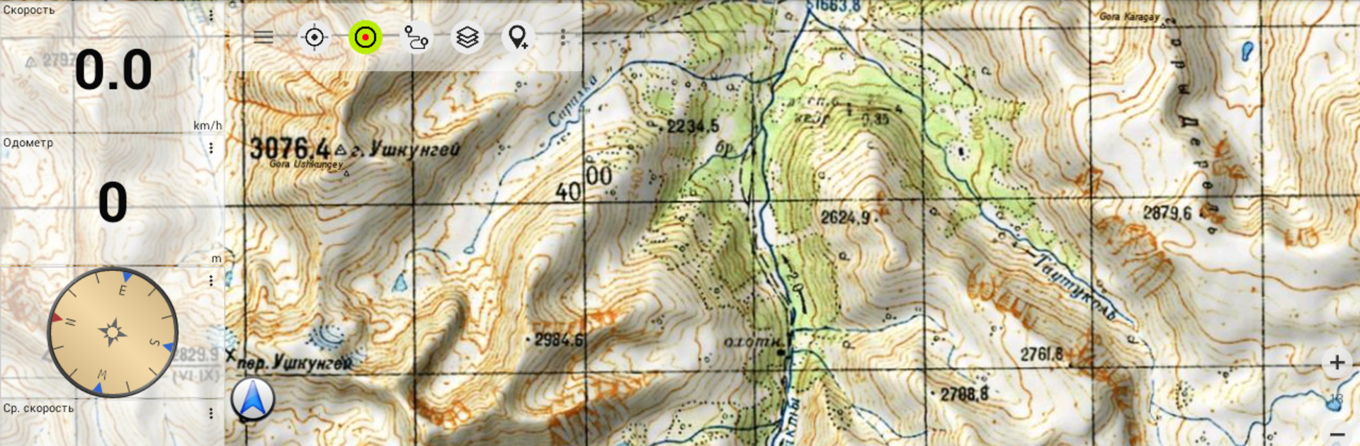
Soviet Military Maps Free is a bit of a hidden gem for anyone who likes exploring old maps or plotting out routes off the beaten path—especially if you’re into trekking, off-roading, or planning trips in less mapped-out places. What really sets it apart are these topographic maps sourced from old Soviet military charts, so you get a level of detail you don’t usually see, especially for parts of Africa or Asia where other maps might just have blank space or missing roads. You can flip between all kinds of map layers, like Google or Bing if you feel like comparing with more modern satellite views, or even OpenStreetMap for up-to-date info.
On PC, using something like BlueStacks, the whole experience just feels easier to manage than squinting at a phone. There’s a lot you can do here—marking waypoints, plotting tracks, seeing all sorts of stats on elevation, speed, distance. The map coverage is surprisingly wide, mostly at the 1:100,000 or 1:200,000 scale, which is detailed enough for most adventure planning. The free version is a bit limited (you only get a few waypoints and tracks, and there are some ads), but for casual planners or anyone curious about what those old Soviet maps look like, it’s more than enough to mess around and see if it fits your needs. It’s not really for city navigation—there’s no turn-by-turn driving directions—but for finding old trails, planning remote hikes, or just checking out places from a military cartographer’s point of view, it’s interesting and different from your usual map apps.
Ready to experience Soviet Military Maps Free on a bigger screen, in all its glory? Download BlueStacks now.