Get freedom from your phone’s obvious limitations. Use New Zealand Topo Maps, made by ATLOGIS Geoinformatics GmbH & Co. KG, a Maps & Navigation app on your PC or Mac with BlueStacks, and level up your experience.
About the App
Exploring New Zealand’s great outdoors just got a whole lot easier. With New Zealand Topo Maps, you get detailed topographic mapping for New Zealand and even the Cook Islands and Tokelau, all right at your fingertips. Whether you’re planning a hike, setting up camp, or just curious about what’s off the beaten path, this app gives you the freedom to roam (virtually and literally) with plenty of tools to help you navigate.
App Features
-
Detailed Topo Maps
Check out official LINZ topographic maps with clear hillshading. They’re perfect for getting your bearings—no matter if you’re hitting mountain trails, taking a canoe trip, or just daydreaming. -
Multiple Map Layers
Swap between different views, like aerial imagery, marine charts, road maps, or even Open Street Maps and Bing Maps when you need another perspective. -
Waypoint Creation
Drop waypoints wherever you want—pin your campsite, a great lookout, or the spot where your buddy caught “the big one.” Go back later using the handy GoTo navigation. -
Track Recording
Like seeing where you’ve been? Record your tracks as you move, then look back on your speed, elevation, and accuracy—perfect for hiking or biking adventures. -
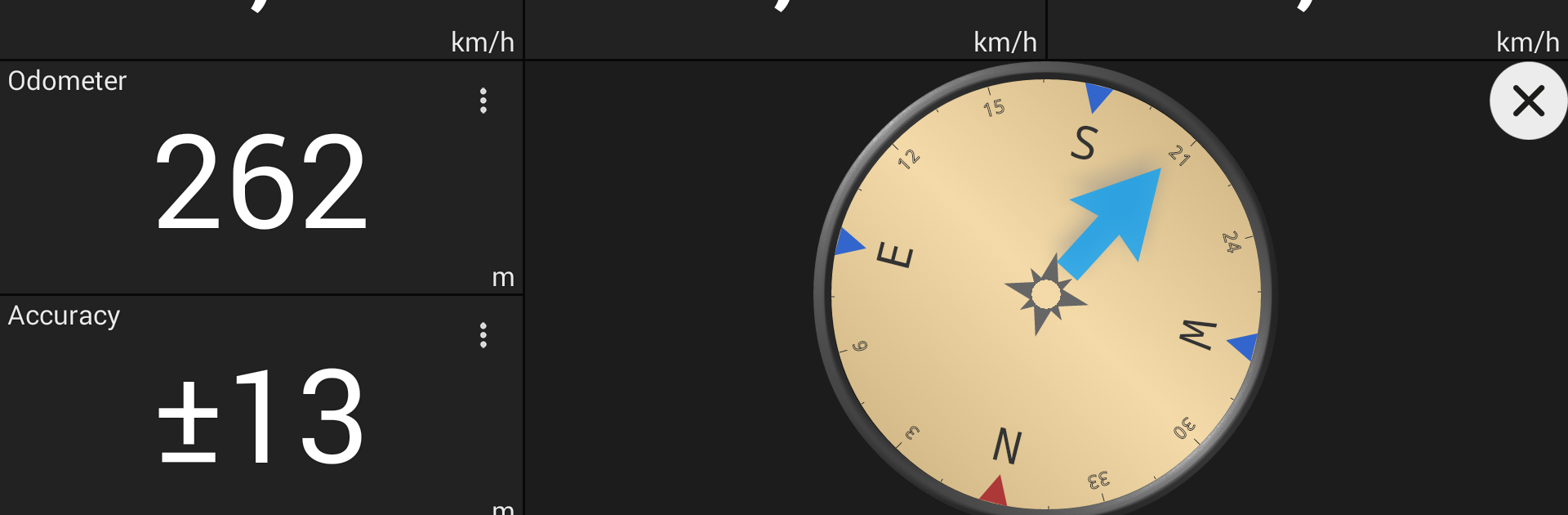
Tripmaster Dashboard
See all your essential stats, from your current speed to elevation, average pace, and bearing—all on a screen you can tweak to your own preference. -
Import and Export
Bring in GPX files for planned routes or send your tracks and waypoints to friends. KML export is there too. -
Advanced Search
Looking for a trail, a hut, or a hidden street? Just search by placename, POI, or address to locate it instantly. -
Map Overlays
Toggle public conservation areas, hunting zones, camp sites, huts, fishing districts, and more. Pretty handy if you want to avoid surprises out there. -
Flexible Coordinates
Enter coordinates in UTM, WGS84, or MGRS formats—whatever your GPS says, this app can handle it.
You can access all this and more within the free version (note a few restrictions like ads and a limit on saved waypoints or tracks). With Pro, you can take your maps offline—ideal if you’re venturing into areas without cell service. And for those who prefer the big screen or want to multitask while planning, you can also use New Zealand Topo Maps on BlueStacks.
Ready to experience New Zealand Topo Maps on a bigger screen, in all its glory? Download BlueStacks now.